What is GPS and How does GPS work? GPS (Global Positioning System) GPS is a satellite-based navigation system used byadminMarch 22, 2025
How to subset a satellite image in ArcGIS? The ability to subset a satellite image to concentrate on a particular area of byadminMarch 4, 2025
How to Change Band combination of satellite image in ArcGIS Use of Band Combination in Satellite Image Processing In satellite image byadminFebruary 24, 2025
Layer Stacking or Band composite of Landsat Satellite data using ArcGIS Integration of numerous spectral bands of Landsat byadminFebruary 17, 2025
GIS DataApril 11, 2020 What are the Raster Data Formats in GIS and Remote Sensing???? Raster Data Formats used in GIS and Remote Sensing Earth surface features byadmin
Remote Sensing RS IntroMay 29, 2019 What is Remote Sensing Technology Remote Sensing Introduction The term “remote sensing,” first used in byadmin
Remote Sensing DataMay 28, 2019 How to Acquire Remote Sensing Data Remote Sensing Data/Satellite Image Download Portals: Satellite image is main byadmin
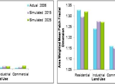
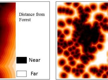
GIS Analysis RS AnalysisAugust 5, 2020 How Geo Spatial Technology used for Scenario Analysis based on Land use Plan and Policies This article is in continuation of last article in which remote sensingand GIS byadmin
GIS Analysis RS AnalysisAugust 1, 2020 Geo-Spatial Technology for Urban Sprawl Projection/Prediction Urban sprawl, an outcome of socioeconomic development and population under byadmin
GIS Analysis Remote Sensing applicationsMay 20, 2020 Geo-Spatial Technology for Groundwater Discharge Monitoring In this article ground water discharge/seepage in to coastal ecosystem is byadmin
GIS Analysis Remote Sensing applicationsMay 6, 2020 Geo-Spatial Technology in Hydrological Studies What is Hydrology Hydrology encompasses the study of water on and beneath the byadmin
Remote Sensing applicationsMay 3, 2020 Geo-Spatial Technology for Agriculture Studies Introduction Agriculture is very important for economy of both developed and byadmin
GIS Analysis GIS TutorialsMarch 30, 2020 How to Georeference a Toposheet Using QGIS Georeferencing of Toposheet Introduction Georeferencing is a process of byadmin
GIS Analysis Remote Sensing applicationsJune 27, 2019 Geo-Spatial Technology for Natural Resources Studies GIS and Remote Sensing Application for Mining Development and Its Impact on byadmin